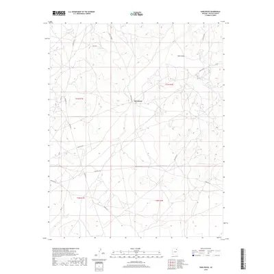
2018 Map of Hard Rocks
USGS Topo · Published 2018About this map
Hard Rocks serves as a focal point in this high-desert landscape of Navajo County, illustrating the modern road network within the Chinle Agency. The area is characterized by a complex system of local routes including Indian Rte 8031, Indian Rte 8064, and the evocative Turquoise Trl. These roads navigate a terrain defined by significant geographic markers like White Valley and the distinctive Hill Edge. The settlement of Ah Na Na Betoh appears in the eastern portion of the map, situated among the undulating topography. This 2018 survey provides a clear view of how traditional land divisions and contemporary infrastructure coexist, marking out the township and range lines of the Public Land Survey System against the natural drainage patterns of the region.
Find a feature on this map
18 named features on this map. Tap any name to fly to it.
Don’t see what you’re looking for? This feature index may not catch every label — zoom into the map to look around manually.
Map Details
Editions of this 2018 Hard Rocks Map
This is the sole edition of this map. No revisions or reprints were ever made.
Other maps of this area

1883 · Marsh Pass
USGS Topo · 1:250,000

1883 · Tusayan
USGS Topo · 1:250,000

1886 · Tusayan
USGS Topo · 1:250,000

1892 · Marsh Pass
USGS Topo · 1:250,000

1947 · Flagstaff
USGS Topo · 1:250,000

1954 · Flagstaff
USGS Topo · 1:250,000

1956 · Marble Canyon
USGS Topo · 1:250,000

1958 · Flagstaff
USGS Topo · 1:250,000

1959 · Marble Canyon
USGS Topo · 1:250,000

1960 · Flagstaff
USGS Topo · 1:250,000