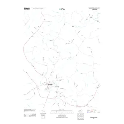
2013 Map of Hardinsburg
USGS Topo · Published 2013About this map
Hardinsburg serves as the central hub of this Breckinridge County landscape, where the confluence of several small watercourses dictates the local geography. The town's grid is surrounded by a network of winding country roads, many of which carry long-standing family names like Obryan Ln, Smith Ln, and Alfred Woods, offering clues for genealogical research. To the northeast, the terrain follows the meandering path of Sinking Creek, passing through Norton Valley and reaching the small settlement at Clifton Mills.
Find a feature on this map
92 named features on this map. Tap any name to fly to it.
Don’t see what you’re looking for? This feature index may not catch every label — zoom into the map to look around manually.
Map Details
Editions of this 2013 Hardinsburg Map
This is the sole edition of this map. No revisions or reprints were ever made.
Other maps of this area

1928 · Hardinsburg
USGS Topo · 1:48,000

1931 · Hardinsburg
USGS Topo · 1:62,500

1932 · Fordsville
USGS Topo · 1:62,500

1934 · Cannelton
USGS Topo · 1:62,500

1947 · Irvington
USGS Topo · 1:24,000

1947 · Lodiburg
USGS Topo · 1:24,000

1947 · Hardinsburg
USGS Topo · 1:24,000

1947 · Garfield
USGS Topo · 1:24,000

1947 · Hardinsburg
USGS Topo · 1:62,500

1953 · Custer
USGS Topo · 1:24,000