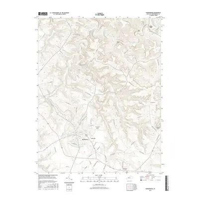
2016 Map of Hardinsburg
USGS Topo · Published 2016About this map
The county seat of Hardinsburg serves as the central hub of this Breckinridge County landscape, where the convergence of Bus 60 and various regional routes anchors the local geography. The surrounding terrain is defined by a dense network of winding valleys and ridges, carved by waterways like Sinking Creek and Hardins Creek. These natural features have historically dictated the placement of smaller communities such as Codyville, Harned, and Clifton Mills, the latter situated near the northern edge of the map.
Find a feature on this map
70 named features on this map. Tap any name to fly to it.
Don’t see what you’re looking for? This feature index may not catch every label — zoom into the map to look around manually.
Map Details
Editions of this 2016 Hardinsburg Map
This is the sole edition of this map. No revisions or reprints were ever made.
Other maps of this area

1928 · Hardinsburg
USGS Topo · 1:48,000

1931 · Hardinsburg
USGS Topo · 1:62,500

1932 · Fordsville
USGS Topo · 1:62,500

1934 · Cannelton
USGS Topo · 1:62,500

1947 · Irvington
USGS Topo · 1:24,000

1947 · Lodiburg
USGS Topo · 1:24,000

1947 · Hardinsburg
USGS Topo · 1:24,000

1947 · Garfield
USGS Topo · 1:24,000

1947 · Hardinsburg
USGS Topo · 1:62,500

1953 · Custer
USGS Topo · 1:24,000