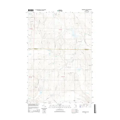
2014 Map of Hardwood Lake
USGS Topo · Published 2014About this map
Pigeon River flows through the center of this northern Michigan landscape, where the boundary between Cheboygan and Otsego counties meets. This 2014 survey reveals an area defined by its complex hydrology and recreational character, featuring numerous named water bodies like Cornwall Cr Flooding and the strangely named Paul Bunyan Punch Bowl. The network of trails and secondary roads, such as Chaffee Trl and Song of Morning Ranch Rd, indicates a region utilized for timber management and outdoor access. Local landmarks like Tin Shanty Bridge and the Lansing Club Pond suggest long-standing local sites. The varied terrain includes distinct features like Devils Bowl Lake and Section Four Lake, which are part of a dense system of glacial lakes and creeks that feed into the larger river systems of the Lower Peninsula.
Find a feature on this map
61 named features on this map. Tap any name to fly to it.
Don’t see what you’re looking for? This feature index may not catch every label — zoom into the map to look around manually.
Map Details
Editions of this 2014 Hardwood Lake Map
This is the sole edition of this map. No revisions or reprints were ever made.
Other maps of this area

1954 · Gaylord
USGS Topo · 1:62,500

1954 · Hetherton
USGS Topo · 1:62,500

1955 · Cheboygan
USGS Topo · 1:250,000

1957 · Tower
USGS Topo · 1:62,500

1957 · Wolverine
USGS Topo · 1:62,500

1958 · Cheboygan
USGS Topo · 1:250,000

1982 · Petoskey
USGS Topo · 1:100,000

1986 · Silver Lake
USGS Topo · 1:24,000
1986 · Saunders Creek
USGS Topo · 1:24,000
1986 · Tower
USGS Topo · 1:24,000