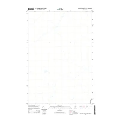
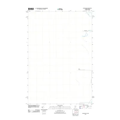
2014 Map of Hardwood Mountain OE W
USGS Topo · Published 2014About this map
The international border between Canada USA and the state of Maine defines this landscape. This 2014 survey captures a sparsely populated boundary region characterized by a network of drainage basins and wetlands along the northern edge of the United States. The map focuses on the topographical transition where the North American wilderness meets the administrative line of the frontier, showing how natural watercourses cross the man-made political division. It is a specialized study of terrain and hydrography in an area where the primary human footprint is the cleared border swath itself, making it an essential reference for understanding the geography of the northern borderlands.
Find a feature on this map
2 named features on this map. Tap any name to fly to it.
Don’t see what you’re looking for? This feature index may not catch every label — zoom into the map to look around manually.
Map Details
Editions of this 2014 Hardwood Mountain OE W Map
This is the sole edition of this map. No revisions or reprints were ever made.
Other maps of this area

1957 · Hardwood Mountain
USGS Topo · 1:62,500

1962 · Quebec
USGS Topo · 1:250,000
1986 · Lac Etchemin
USGS Topo · 1:100,000
1987 · Daaquam
USGS Topo · 1:24,000
1989 · Hardwood Mountain
USGS Topo · 1:24,000
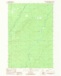
1989 · Hardwood Mountain SE
USGS Topo · 1:24,000
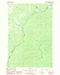
1989 · Hardwood Mountain SW
USGS Topo · 1:24,000
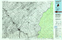
1993 · Lac Etchemin
USGS Topo · 1:100,000
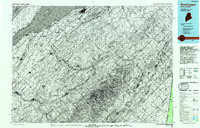
1993 · Montmagny
USGS Topo · 1:100,000
2011 · Daaquam
USGS Topo · 1:24,000