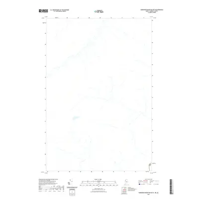
2021 Map of Hardwood Mountain OE W
USGS Topo · Published 2021About this map
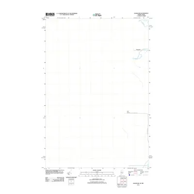
The international border between the United States and Canada defines the southeastern corner of this map, marked by the Can Usa boundary line. This 2021 topographic survey captures a largely undeveloped wilderness area in Somerset County, Maine, along the Quebec border near Sainte-Justine. The landscape is characterized by an intricate network of unnamed streams and seasonal waterways that drain the upland terrain. Unlike more settled regions, this area is defined by its lack of established infrastructure, roads, or named settlements, highlighting the remote nature of the North Woods and the jurisdictional boundary that separates these two nations in a dense forest environment.
Find a feature on this map
1 named feature on this map. Tap any name to fly to it.
Don’t see what you’re looking for? This feature index may not catch every label — zoom into the map to look around manually.
Map Details
Editions of this 2021 Hardwood Mountain OE W Map
This is the sole edition of this map. No revisions or reprints were ever made.
Other maps of this area

1957 · Hardwood Mountain
USGS Topo · 1:62,500

1962 · Quebec
USGS Topo · 1:250,000
1986 · Lac Etchemin
USGS Topo · 1:100,000
1987 · Daaquam
USGS Topo · 1:24,000
1989 · Hardwood Mountain
USGS Topo · 1:24,000
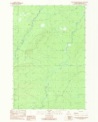
1989 · Hardwood Mountain SE
USGS Topo · 1:24,000
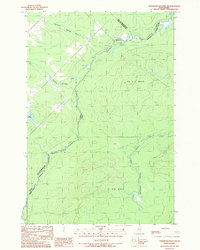
1989 · Hardwood Mountain SW
USGS Topo · 1:24,000
1993 · Lac Etchemin
USGS Topo · 1:100,000
1993 · Montmagny
USGS Topo · 1:100,000
2011 · Daaquam
USGS Topo · 1:24,000