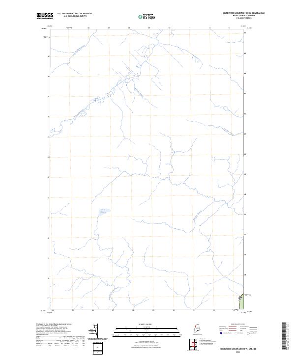
2024 Map of Hardwood Mountain OE W
USGS Topo · Published 2024About this map
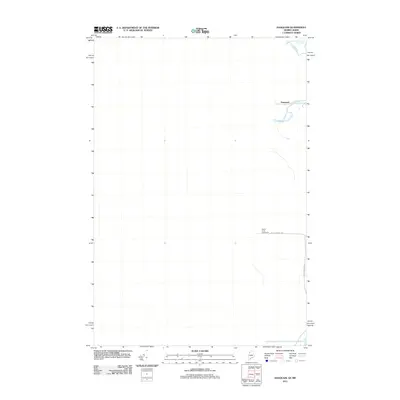
Rivière Daaquam and its numerous tributaries dominate this wooded borderland in Somerset County, Maine. The landscape is defined by its complex drainage network, where waterways like Ruisseau Bédard and La Petite Rivière flow through a region largely absent of modern development or permanent settlements. The presence of the Lac à l'Envers provides a rare natural basin amidst the dense system of brooks and streams. Situated directly along the international boundary between Canada and the United States, the map illustrates how natural features such as Ruisseau Doucet and Ruisseau Morning Nord ignore political lines, shaping a contiguous wilderness that bridges the two nations.
Find a feature on this map
8 named features on this map. Tap any name to fly to it.
Don’t see what you’re looking for? This feature index may not catch every label — zoom into the map to look around manually.
Map Details
Editions of this 2024 Hardwood Mountain OE W Map
This is the sole edition of this map. No revisions or reprints were ever made.
Other maps of this area

1957 · Hardwood Mountain
USGS Topo · 1:62,500

1962 · Quebec
USGS Topo · 1:250,000
1986 · Lac Etchemin
USGS Topo · 1:100,000
1987 · Daaquam
USGS Topo · 1:24,000
1989 · Hardwood Mountain
USGS Topo · 1:24,000
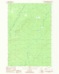
1989 · Hardwood Mountain SE
USGS Topo · 1:24,000
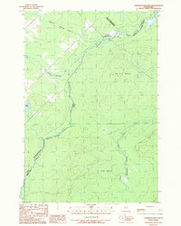
1989 · Hardwood Mountain SW
USGS Topo · 1:24,000
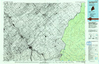
1993 · Lac Etchemin
USGS Topo · 1:100,000
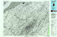
1993 · Montmagny
USGS Topo · 1:100,000
2011 · Daaquam
USGS Topo · 1:24,000