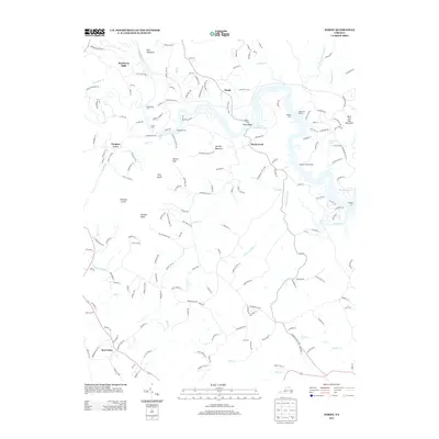
2013 Map of Hardy
USGS Topo · Published 2013About this map
Smith Mountain Lake dominates the eastern portion of this map, reflecting the dramatic transformation of the Roanoke River valley. This 2013 survey preserves the locations of numerous river crossings that predated the reservoir, including Blackwater Ford, Horns Ford, Webbs Ford, and Hardys Ford, which are essential points of interest for local history researchers and genealogists tracing old travel routes. The transition from the established settlements at Hardy and Hardy Ford to the newer recreational hubs of Moorman Marina and Chandler Boat Marina illustrates the shifting economic landscape of the region.
Find a feature on this map
177 named features on this map. Tap any name to fly to it.
Don’t see what you’re looking for? This feature index may not catch every label — zoom into the map to look around manually.
Map Details
Editions of this 2013 Hardy Map
This is the sole edition of this map. No revisions or reprints were ever made.
Other maps of this area

1890 · Roanoke
USGS Topo · 1:125,000

1891 · Roanoke
USGS Topo · 1:125,000

1929 · Roanoke
USGS Topo · 1:48,000

1933 · Roanoke
USGS Topo · 1:62,500

1947 · Roanoke
USGS Topo · 1:250,000

1950 · Peaks of Otter
USGS Topo · 1:62,500

1951 · Boones Mill
USGS Topo · 1:62,500

1951 · Moneta
USGS Topo · 1:62,500

1959 · Roanoke
USGS Topo · 1:250,000
1962 · Roanoke
USGS Topo · 1:24,000