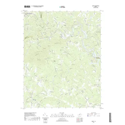
2019 Map of Hardy
USGS Topo · Published 2019About this map
The Roanoke River snakes through a deeply dissected landscape where the borders of Roanoke, Bedford, and Franklin counties converge. This 2019 survey captures the community of Hardy and its namesake Hardy Bridge, illustrating a region defined by complex topography and small-scale agriculture. The terrain is marked by prominent elevations such as Lynville Mtn, Tory Knob, and Buck and Doe Mtn, while the valleys are drained by a network of creeks including Lynville Cr and Gills Cr.
Find a feature on this map
171 named features on this map. Tap any name to fly to it.
Don’t see what you’re looking for? This feature index may not catch every label — zoom into the map to look around manually.
Map Details
Editions of this 2019 Hardy Map
This is the sole edition of this map. No revisions or reprints were ever made.
Other maps of this area

1890 · Roanoke
USGS Topo · 1:125,000

1891 · Roanoke
USGS Topo · 1:125,000

1929 · Roanoke
USGS Topo · 1:48,000

1933 · Roanoke
USGS Topo · 1:62,500

1947 · Roanoke
USGS Topo · 1:250,000

1950 · Peaks of Otter
USGS Topo · 1:62,500

1951 · Boones Mill
USGS Topo · 1:62,500

1951 · Moneta
USGS Topo · 1:62,500

1959 · Roanoke
USGS Topo · 1:250,000
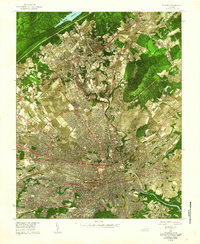
1962 · Roanoke
USGS Topo · 1:24,000