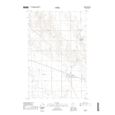
2020 Map of Harlem
USGS Topo · Published 2020About this map
Harlem serves as a central hub for this portion of Blaine County, situated along the north bank of the Milk River. The town layout is clearly defined by its street grid, including Central Ave W and Main St N, while the surrounding landscape is marked by the vital irrigation infrastructure of the Harlem Canal and Fort Belknap Canal. These waterways underscore the importance of agriculture in this prairie region, drawing water to support local ranching and farming operations. To the north, the North Harlem Colony represents a distinct communal settlement pattern characteristic of the high plains, while the winding Thirtymile Creek and Borders Coulee carve through the northern hills. The Presence of the Harlem Airport and the Harlem Cem on the outskirts of town provide a look at the essential services supporting this rural Montana community.
Find a feature on this map
41 named features on this map. Tap any name to fly to it.
Don’t see what you’re looking for? This feature index may not catch every label — zoom into the map to look around manually.
Map Details
Editions of this 2020 Harlem Map
This is the sole edition of this map. No revisions or reprints were ever made.
Other maps of this area
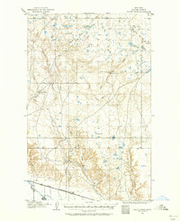
1903 · Wayne Creek
USGS Topo · 1:62,500
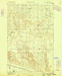
1905 · Wayne Creek
USGS Topo · 1:62,500
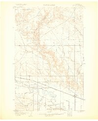
1905 · Harlem
USGS Topo · 1:62,500
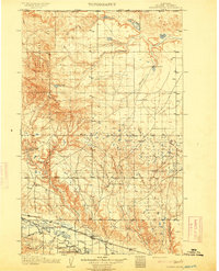
1913 · Cherry Ridge
USGS Topo · 1:125,000
1953 · Havre
USGS Topo · 1:250,000
1957 · Havre
USGS Topo · 1:250,000
1958 · Havre
USGS Topo · 1:250,000
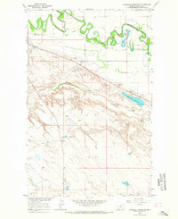
1964 · Threemile Reservoir
USGS Topo · 1:24,000
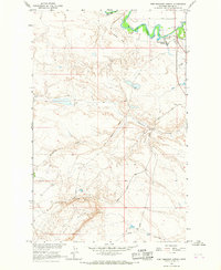
1964 · Fort Belknap Agency
USGS Topo · 1:24,000
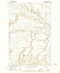
1964 · Big Coulee
USGS Topo · 1:24,000