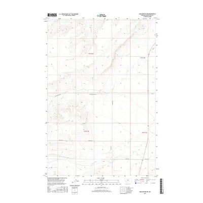
2017 Map of Harlowton SW
USGS Topo · Published 2017About this map
American Fork meanders through the southern expanse of this Wheatland County landscape, reflecting the essential role of water in Montana's ranching country. The topography is defined by the drainage systems of Lebo Cr, Milton Cr, and Labrie Cr, which carve through the high plains. The map illustrates a contemporary rural infrastructure where long-established property lines of the Public Land Survey System, including t7n r14e and t6n r15e, dictate the modern road network.
Find a feature on this map
15 named features on this map. Tap any name to fly to it.
Don’t see what you’re looking for? This feature index may not catch every label — zoom into the map to look around manually.
Map Details
Editions of this 2017 Harlowton SW Map
This is the sole edition of this map. No revisions or reprints were ever made.
Other maps of this area

1886 · Little Belt Mts.
USGS Topo · 1:250,000

1889 · Big Snowy Mountain
USGS Topo · 1:250,000

1893 · Big Snowy Mountain
USGS Topo · 1:250,000

1894 · Little Belt Mts.
USGS Topo · 1:250,000

1897 · Little Belt Mts.
USGS Topo · 1:250,000

1898 · Little Belt Mts.
USGS Topo · 1:250,000

1902 · Little Belt Mts.
USGS Topo · 1:250,000

1948 · White Sulphur Springs
USGS Topo · 1:250,000

1954 · Roundup
USGS Topo · 1:250,000

1958 · Roundup
USGS Topo · 1:250,000