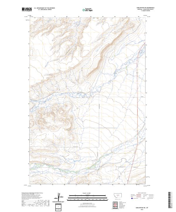
2024 Map of Harlowton SW
USGS Topo · Published 2024About this map
Lebo Creek and American Fork wind through this part of Wheatland County, where the landscape is defined by the drainage patterns of the Musselshell River basin. This 2024 U.S. Geological Survey representation shows a rural Montana territory organized by ranch roads and section lines, with labels such as Lower Lebo Ranch Rd and Moonshine Rd indicating the modern access routes to this agricultural terrain. Small watercourses like Milton Creek and Spring Creek indicate the seasonal hydrology essential to the local ranching economy. The map provides a clear look at the township and range system, specifically covering parts of t7n r14e and t6n r15e, offering a precise spatial reference for the contemporary land use and hydrography of this high plains region.
Find a feature on this map
15 named features on this map. Tap any name to fly to it.
Don’t see what you’re looking for? This feature index may not catch every label — zoom into the map to look around manually.
Map Details
Editions of this 2024 Harlowton SW Map
This is the sole edition of this map. No revisions or reprints were ever made.
Other maps of this area

1886 · Little Belt Mts.
USGS Topo · 1:250,000

1889 · Big Snowy Mountain
USGS Topo · 1:250,000

1893 · Big Snowy Mountain
USGS Topo · 1:250,000

1894 · Little Belt Mts.
USGS Topo · 1:250,000

1897 · Little Belt Mts.
USGS Topo · 1:250,000

1898 · Little Belt Mts.
USGS Topo · 1:250,000

1902 · Little Belt Mts.
USGS Topo · 1:250,000

1948 · White Sulphur Springs
USGS Topo · 1:250,000

1954 · Roundup
USGS Topo · 1:250,000

1958 · Roundup
USGS Topo · 1:250,000