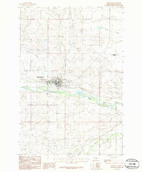
1986 Map of Harlowton
USGS Topo · Published 1986About this map
Harlowton serves as the central hub of this mid-1980s Wheatland County landscape, where the Musselshell River winds through the valley floor. The map highlights the town's infrastructure, including a Gaging Station, a local Park, and the Golf Course on the north side of the settlement. A significant corridor of an Old Railroad Grade follows the river's path, tracing the legacy of the Milwaukee Road that once defined the regional economy.
Find a feature on this map
20 named features on this map. Tap any name to fly to it.
Don’t see what you’re looking for? This feature index may not catch every label — zoom into the map to look around manually.
Map Details
Editions of this 1986 Harlowton Map
This is the sole edition of this map. No revisions or reprints were ever made.
Other maps of this area
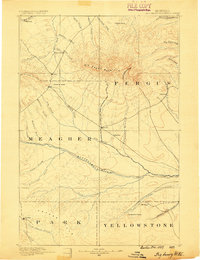
1889 · Big Snowy Mountain
USGS Topo · 1:250,000
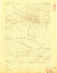
1893 · Big Snowy Mountain
USGS Topo · 1:250,000
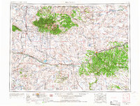
1954 · Roundup
USGS Topo · 1:250,000
1958 · Roundup
USGS Topo · 1:250,000
1986 · Oka
USGS Topo · 1:24,000
1986 · Ten O'Clock Gate
USGS Topo · 1:24,000
1986 · Hopley Creek North
USGS Topo · 1:24,000
1986 · Devils Pocket
USGS Topo · 1:24,000
1986 · Oxford
USGS Topo · 1:24,000
1986 · Harlowton SW
USGS Topo · 1:24,000