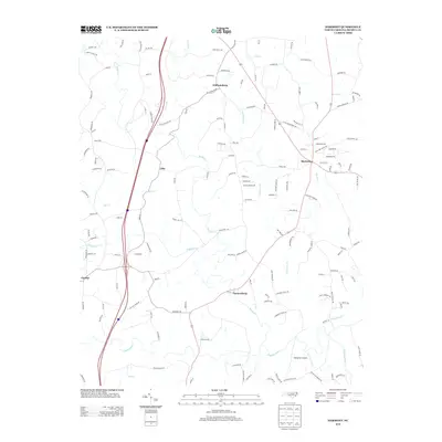
2013 Map of Harmony
USGS Topo · Published 2013About this map
Harmony serves as a focal point for this Iredell County landscape, situated where local routes converge northeast of the S Yadkin River. The terrain is defined by a dense network of tributaries including Dutchman Cr, Rocky Cr, and Olin Cr, which historically dictated the placement of early settlements and agricultural tracts. Small communities such as Williamsburg, Olin, and Turnersburg are linked by a web of named rural roads, many of which reference early industries or family landmarks like Sloans Mill Rd and Oil Mill Rd. To the south, Stoneriver Airport and the recreational grounds of Camp Alwood highlight modern land use alongside traditional rural properties. The presence of Rabbit Hwy and Jericho Rd suggests a landscape deeply rooted in local history and naming traditions, preserved here in the early twenty-first century.
Find a feature on this map
146 named features on this map. Tap any name to fly to it.
Don’t see what you’re looking for? This feature index may not catch every label — zoom into the map to look around manually.
Map Details
Editions of this 2013 Harmony Map
This is the sole edition of this map. No revisions or reprints were ever made.
Other maps of this area

1891 · Yadkinville
USGS Topo · 1:125,000

1893 · Statesville
USGS Topo · 1:125,000

1893 · Yadkinville
USGS Topo · 1:125,000

1953 · Charlotte
USGS Topo · 1:250,000

1953 · Winston-Salem
USGS Topo · 1:250,000

1954 · Charlotte
USGS Topo · 1:250,000

1955 · Winston-Salem
USGS Topo · 1:250,000

1960 · Charlotte
USGS Topo · 1:250,000

1962 · Winston-Salem
USGS Topo · 1:250,000

1962 · Charlotte
USGS Topo · 1:250,000