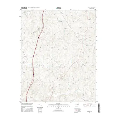
2016 Map of Harmony
USGS Topo · Published 2016About this map
Harmony and Olin anchor this section of northern Iredell County, where a network of family-named roads and agricultural lands meet the southern drainage of the South Yadkin River. The terrain is defined by a series of parallel waterways, including Rocky Creek, Dutchman Cr, and Patterson Creek, which flow southward through a landscape of rolling hills and rural farmsteads. The settlement of Turnersburg sits near the river's edge, while Williamsburg occupies the higher ground to the north.
Find a feature on this map
112 named features on this map. Tap any name to fly to it.
Don’t see what you’re looking for? This feature index may not catch every label — zoom into the map to look around manually.
Map Details
Editions of this 2016 Harmony Map
This is the sole edition of this map. No revisions or reprints were ever made.
Other maps of this area

1891 · Yadkinville
USGS Topo · 1:125,000

1893 · Statesville
USGS Topo · 1:125,000

1893 · Yadkinville
USGS Topo · 1:125,000

1953 · Charlotte
USGS Topo · 1:250,000

1953 · Winston-Salem
USGS Topo · 1:250,000

1954 · Charlotte
USGS Topo · 1:250,000

1955 · Winston-Salem
USGS Topo · 1:250,000

1960 · Charlotte
USGS Topo · 1:250,000

1962 · Winston-Salem
USGS Topo · 1:250,000

1962 · Charlotte
USGS Topo · 1:250,000