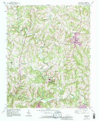
1993 Map of Harmony
USGS Topo · Published 1995About this map
Rocky Creek and its many tributaries, including Camel Branch and Patterson Creek, carve through the Piedmont landscape of northern Iredell County. The settlement of Harmony serves as a local hub, showing mid-1990s development such as water tanks and mobile home parks near its center. To the south, Turnersburg sits near the confluence where Rocky Creek meets the South Yadkin River, a site featuring a Gaging Station and industrial infrastructure like a Substation and Sewage Disposal plant.
Find a feature on this map
28 named features on this map. Tap any name to fly to it.
Don’t see what you’re looking for? This feature index may not catch every label — zoom into the map to look around manually.
Map Details
Editions of this 1993 Harmony Map
This is the sole edition of this map. No revisions or reprints were ever made.
Other maps of this area

1891 · Yadkinville
USGS Topo · 1:125,000

1893 · Statesville
USGS Topo · 1:125,000

1893 · Yadkinville
USGS Topo · 1:125,000

1953 · Charlotte
USGS Topo · 1:250,000

1953 · Winston-Salem
USGS Topo · 1:250,000

1954 · Charlotte
USGS Topo · 1:250,000

1955 · Winston-Salem
USGS Topo · 1:250,000

1960 · Charlotte
USGS Topo · 1:250,000

1962 · Winston-Salem
USGS Topo · 1:250,000

1962 · Charlotte
USGS Topo · 1:250,000