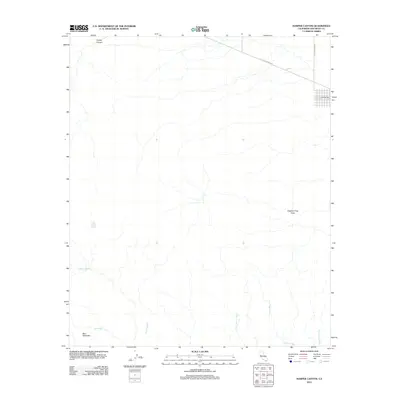
2012 Map of Harper Canyon
USGS Topo · Published 2012About this map
Harper Canyon and the surrounding desert floor are defined by a complex network of seasonal drainage channels in this San Diego County landscape. The small settlement at Little Borrego sits at the intersection of Split Mountain Rd and Old Kane Springs Rd, serving as a rare point of human habitation in a region dominated by geological formations like the Mud Palisades. The map illustrates a high concentration of named desert washes, including Olla Wash, Lycium Wash, and Oyster Shell Wash, which trace the path of water across the arid basin.
Find a feature on this map
14 named features on this map. Tap any name to fly to it.
Don’t see what you’re looking for? This feature index may not catch every label — zoom into the map to look around manually.
Map Details
Editions of this 2012 Harper Canyon Map
This is the sole edition of this map. No revisions or reprints were ever made.
Other maps of this area

1931 · Vallecito
USGS Topo · 1:125,000

1931 · Carrizo
USGS Topo · 1:125,000

1939 · Borrego
USGS Topo · 1:62,500

1942 · Barrel Spring
USGS Topo · 1:62,500

1942 · Borego
USGS Topo · 1:62,500

1942 · Carrizo Mtn
USGS Topo · 1:62,500

1942 · Cuyapaipe
USGS Topo · 1:62,500

1943 · Vallecito
USGS Topo · 1:125,000

1947 · Santa Ana
USGS Topo · 1:250,000
1947 · Barrel Spring
USGS Topo · 1:62,500