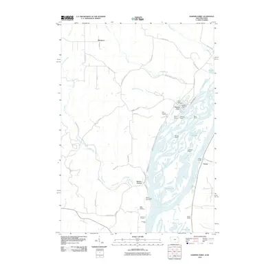
2010 Map of Harpers Ferry
USGS Topo · Published 2010About this map
Mississippi River backwaters and intricate slough networks dominate the eastern edge of this Allamakee County landscape, centered on the community of Harpers Ferry. The river's complex geography is mapped in detail, showing a sequence of river features from Harpers Slough and McDonald Slough to several large islands including Delphey Island and Jackson Island. Inland, the terrain is carved by the drainages of Paint Creek and Cota Creek, which flow toward the river through narrow coulees and hollows like Sioux Coulee and Indian Hollow.
Find a feature on this map
53 named features on this map. Tap any name to fly to it.
Don’t see what you’re looking for? This feature index may not catch every label — zoom into the map to look around manually.
Map Details
Editions of this 2010 Harpers Ferry Map
This is the sole edition of this map. No revisions or reprints were ever made.
Other maps of this area

1903 · Waukon
USGS Topo · 1:125,000

1929 · Ferryville
USGS Topo · 1:62,500

1929 · Prairie Du Chien
USGS Topo · 1:62,500

1932 · Ferryville
USGS Topo · 1:62,500

1932 · Prairie Du Chien
USGS Topo · 1:62,500

1958 · La Crosse
USGS Topo · 1:250,000

1961 · La Crosse
USGS Topo · 1:250,000

1965 · La Crosse
USGS Topo · 1:250,000

1966 · Ferryville
USGS Topo · 1:62,500
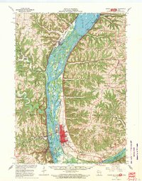
1967 · Prairie Du Chien
USGS Topo · 1:62,500