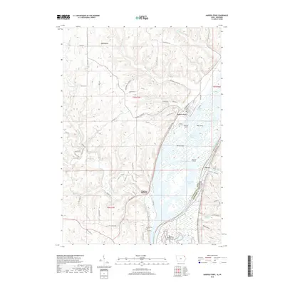
2022 Map of Harpers Ferry
USGS Topo · Published 2022About this map
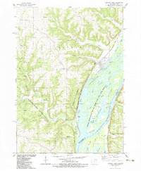
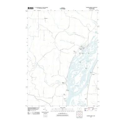
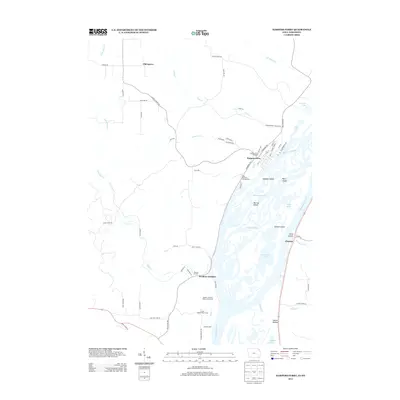
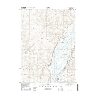
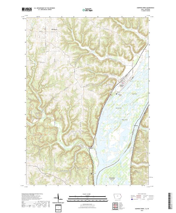
Harpers Ferry sits at the heart of this riverine landscape, where the braided channels of the Mississippi River create a complex network of islands and backwaters. The map reveals the intricate geography of the Upper Mississippi, featuring prominent landforms like Ryan Island, Jackson Island, and the elongated McDonald Slough. To the west, the terrain rises sharply from the river valley into a series of ridges and coulees, including Sioux Coulee and Indian Hollow, where small settlements like Eldergrove and the Grover Plot occupy the higher ground.
Find a feature on this map
84 named features on this map. Tap any name to fly to it.
Don’t see what you’re looking for? This feature index may not catch every label — zoom into the map to look around manually.
Map Details
Editions of this 2022 Harpers Ferry Map
This is the sole edition of this map. No revisions or reprints were ever made.
Historical Maps of Harpers Ferry Through Time
6 maps found