Loading...
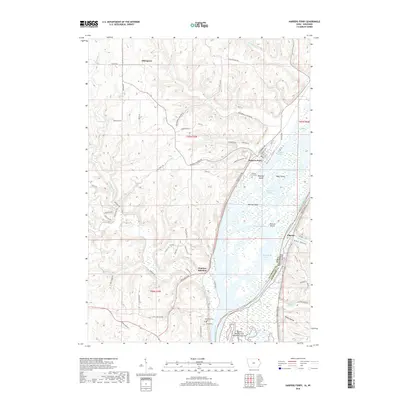
Loading map...1983 Map of Harpers Ferry
USGS Topo · Published 1983About this map
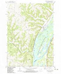
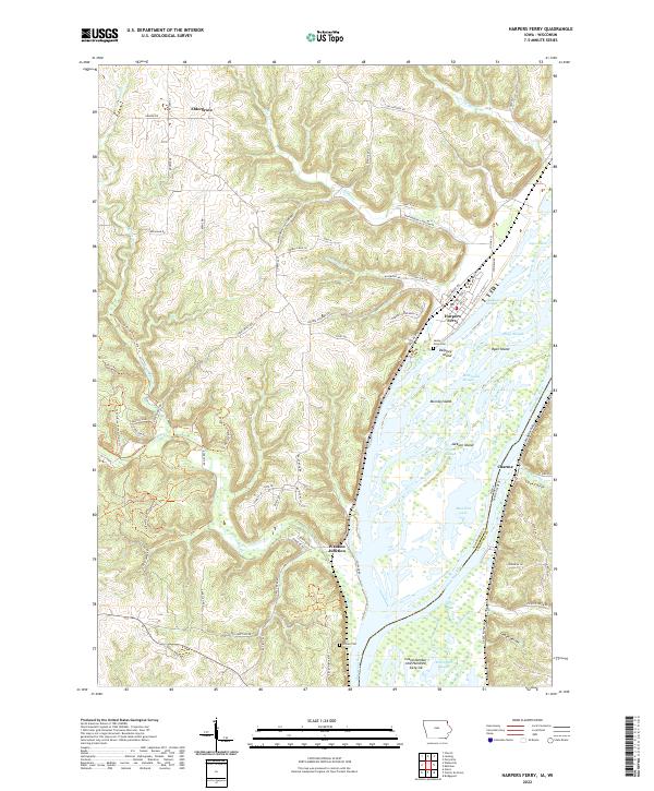
Harpers Ferry sits at the edge of a complex riverine landscape where the Iowa bluffs meet the backwaters of the Mississippi River. This mid-1980s record documents a region defined by extensive public lands and river infrastructure, including the Yellow River State Forest and the Upper Mississippi River Wild Life and Fish Refuge. The map reveals the intricate network of sloughs and islands, such as Harpers Island and Taylor Island, that characterize this reach of the river.
Find a feature on this map
50 named features on this map. Tap any name to fly to it.
Don’t see what you’re looking for? This feature index may not catch every label — zoom into the map to look around manually.
Map Details
Date Portrayed1983
Date Published1983
PublisherU.S. Geological Survey
Map TypeTopographic
Scale1:24,000
Physical Dimensions22 x 26.8 inches
Editions of this 1983 Harpers Ferry Map
This is the sole edition of this map. No revisions or reprints were ever made.
Historical Maps of Harpers Ferry Through Time
6 maps found
Featured Locations
Source Details
SourceU.S. Geological Survey
CopyrightPublic Domain