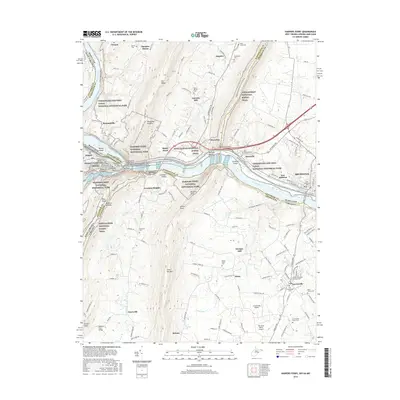
2016 Map of Harpers Ferry
USGS Topo · Published 2016About this map
The Potomac River carves through the Blue Ridge Mountains on this modern survey, meeting the confluence of major historical routes at The Point. This convergence area, where Harpers Ferry stands, illustrates a complex transport network including the C&O Canal Towpath and the Winchester and Potomac Railroad Bridge. The landscape is dominated by the heights of Elk Ridge and Loudoun Heights, while the Appalachian National Scenic Trail winds along the ridges and through Sandy Hook.
Find a feature on this map
67 named features on this map. Tap any name to fly to it.
Don’t see what you’re looking for? This feature index may not catch every label — zoom into the map to look around manually.
Map Details
Editions of this 2016 Harpers Ferry Map
This is the sole edition of this map. No revisions or reprints were ever made.
Other maps of this area

1884 · Harpers Ferry
USGS Topo · 1:125,000

1891 · Harpers Ferry
USGS Topo · 1:125,000

1893 · Harpers Ferry
USGS Topo · 1:125,000

1908 · Middletown
USGS Topo · 1:48,000

1910 · Antietam
USGS Topo · 1:62,500

1914 · Martinsburg
USGS Topo · 1:48,000

1916 · Martinsburg
USGS Topo · 1:62,500

1916 · Berryville
USGS Topo · 1:62,500

1939 · Berryville
USGS Topo · 1:48,000
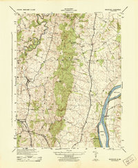
1944 · Waterford
USGS Topo · 1:31,680