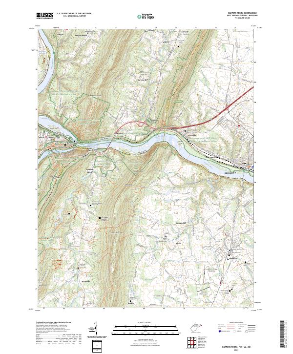
2023 Map of Harpers Ferry
USGS Topo · Published 2023About this map
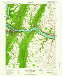
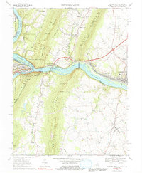
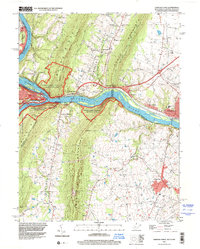
Potomac River carving through the gap at Harpers Ferry serves as the focal point for this multi-state junction where Maryland, West Virginia, and Virginia converge. The landscape is defined by the legacy of early American transportation and defense, notably the Chesapeake and Ohio Canal and its associated towpath winding along the northern bank. On the heights above the water, Maryland Heights and Loudoun Heights frame the confluence where the river meets Elk Ridge.
Find a feature on this map
81 named features on this map. Tap any name to fly to it.
Don’t see what you’re looking for? This feature index may not catch every label — zoom into the map to look around manually.
Map Details
Editions of this 2023 Harpers Ferry Map
This is the sole edition of this map. No revisions or reprints were ever made.
Historical Maps of Neersville Through Time
9 maps found

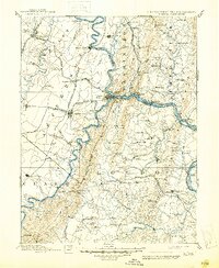
1884 Harpers Ferry
Jefferson County, WV

1891 Harpers Ferry
Jefferson County, WV
1893 Harpers Ferry
Jefferson County, WV
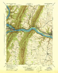
1944 Harpers Ferry
Jefferson County, WV
1953 Harpers Ferry
Jefferson County, WV
1955 Harpers Ferry
Jefferson County, WV
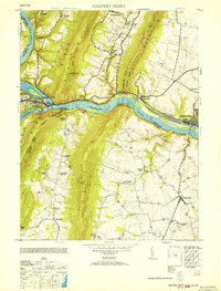
1969 Harpers Ferry
Jefferson County, WV
1996 Harpers Ferry
Jefferson County, WV
2023 Harpers Ferry
Jefferson County, WV