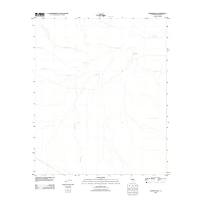
2012 Map of Harpers Well
USGS Topo · Published 2012About this map
Harpers Well stands as the central landmark in this arid portion of Imperial County, marking a vital historical water point in a landscape defined by seasonal drainage systems. The map illustrates a complex network of ephemeral waterways that converge in this desert basin, most notably San Felipe Cr and the extensive Carrizo Wash. These natural conduits, including Tarantula Wash and Fish Cr Wash, dictate the geography of the region, tracing the paths where water occasionally flows through the lowlands. The sparse distribution of named features underscores the remote character of this terrain, where a single well can serve as a primary navigational reference. Researchers can observe the intersection of these major washes, providing insight into the hydrology and historical movement patterns across this stretch of the Colorado Desert.
Find a feature on this map
5 named features on this map. Tap any name to fly to it.
Don’t see what you’re looking for? This feature index may not catch every label — zoom into the map to look around manually.
Map Details
Editions of this 2012 Harpers Well Map
This is the sole edition of this map. No revisions or reprints were ever made.
Other maps of this area

1915 · El Centro
USGS Topo · 1:125,000

1931 · Vallecito
USGS Topo · 1:125,000

1931 · Carrizo
USGS Topo · 1:125,000

1940 · Kane Spring
USGS Topo · 1:62,500

1940 · Plaster City
USGS Topo · 1:62,500

1942 · Barrel Spring
USGS Topo · 1:62,500

1942 · El Centro
USGS Topo · 1:250,000

1942 · Carrizo Mtn
USGS Topo · 1:62,500

1943 · Vallecito
USGS Topo · 1:125,000

1944 · Plaster City
USGS Topo · 1:62,500