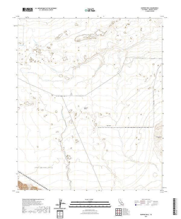
2021 Map of Harpers Well
USGS Topo · Published 2021About this map
The Imperial Valley desert floor meets the rising elevations of the Superstition Hills in this detailed look at the arid landscape of Imperial County. The drainage patterns of the Lower Borrego Valley are defined by the convergence of several major seasonal waterways, most notably San Felipe Cr and its tributaries. To the west, the foothills of the Fish Creek Mountains provide a sharp contrast to the level expanses of West Mesa.
Find a feature on this map
14 named features on this map. Tap any name to fly to it.
Don’t see what you’re looking for? This feature index may not catch every label — zoom into the map to look around manually.
Map Details
Editions of this 2021 Harpers Well Map
This is the sole edition of this map. No revisions or reprints were ever made.
Other maps of this area

1915 · El Centro
USGS Topo · 1:125,000

1931 · Vallecito
USGS Topo · 1:125,000

1931 · Carrizo
USGS Topo · 1:125,000

1940 · Kane Spring
USGS Topo · 1:62,500

1940 · Plaster City
USGS Topo · 1:62,500

1942 · Barrel Spring
USGS Topo · 1:62,500

1942 · El Centro
USGS Topo · 1:250,000

1942 · Carrizo Mtn
USGS Topo · 1:62,500

1943 · Vallecito
USGS Topo · 1:125,000

1944 · Plaster City
USGS Topo · 1:62,500