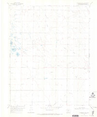
1968 Map of Harrence Lake
USGS Topo · Published 1971About this map
The Russell Lakes wetland complex dominates this high valley floor in Saguache County, forming an intricate network of water and terrain. Surveyed in the late 1960s, the map reveals a landscape defined by its hydrology, where numerous Flowing Wells supplement the natural flow of Russell Creek and La Garita Creek. This area serves as a critical aquatic habitat, highlighted by the presence of a Fish Hatchery and several named bodies of water including Harrence Lake, Island Lake, and Davey Lake. The mapping of drainage features like Werner Arroyo and Bull Arroyo alongside extensive fence lines illustrates the management of this open range for both irrigation and ranching during the mid-twentieth century.
Find a feature on this map
10 named features on this map. Tap any name to fly to it.
Don’t see what you’re looking for? This feature index may not catch every label — zoom into the map to look around manually.
Map Details
Editions of this 1968 Harrence Lake Map
2 editions found
Other maps of this area

1915 · Del Norte
USGS Topo · 1:125,000

1917 · Del Norte
USGS Topo · 1:125,000

1945 · Durango
USGS Topo · 1:250,000

1953 · Durango
USGS Topo · 1:250,000

1954 · Durango
USGS Topo · 1:250,000

1954 · Trinidad
USGS Topo · 1:250,000

1954 · Pueblo
USGS Topo · 1:250,000

1955 · Trinidad
USGS Topo · 1:250,000

1956 · Montrose
USGS Topo · 1:250,000

1957 · Pueblo
USGS Topo · 1:250,000