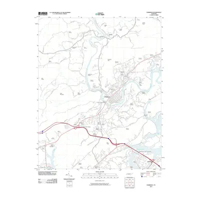
2010 Map of Harriman
USGS Topo · Published 2010About this map
Harriman sits at the confluence of the Emory River and Caney Creek, serving as a central hub in this Roane County landscape. The terrain is defined by prominent ridges and valleys, including Pine Ridge and Little Mountain, which dictate the paths of the CSX Transportation rail lines and the modern interstate corridor. This survey captures the area as a developed intersection of commerce and recreation, featuring the Roane County Speedway and Liles Airport alongside the expansive waters of Watts Bar Lake and Whiteoak Lake near Kingston.
Find a feature on this map
117 named features on this map. Tap any name to fly to it.
Don’t see what you’re looking for? This feature index may not catch every label — zoom into the map to look around manually.
Map Details
Editions of this 2010 Harriman Map
This is the sole edition of this map. No revisions or reprints were ever made.
Other maps of this area

1887 · Kingston
USGS Topo · 1:125,000

1891 · Kingston
USGS Topo · 1:125,000

1893 · Briceville
USGS Topo · 1:125,000

1893 · Kingston
USGS Topo · 1:125,000

1895 · Wartburg
USGS Topo · 1:125,000

1895 · Loudon
USGS Topo · 1:125,000

1895 · Briceville
USGS Topo · 1:125,000

1896 · Wartburg
USGS Topo · 1:125,000

1896 · Briceville
USGS Topo · 1:125,000

1935 · Rockwood
USGS Topo · 1:24,000