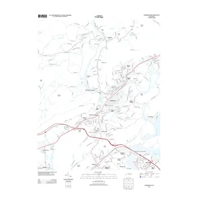
2013 Map of Harriman
USGS Topo · Published 2013About this map
Harriman and Kingston anchor this geographic study at the confluence where the Emory River meets the upper reaches of Watts Bar Lake. The landscape is defined by the ridge-and-valley topography of Roane County, featuring prominent landmarks like Little Mountain and Pine Ridge. The map details a complex network of residential developments and historic neighborhoods, including Walnut Hill, West Hills, and Bazel Town, alongside the industrial and transit legacy of Harriman Junction.
Find a feature on this map
264 named features on this map. Tap any name to fly to it.
Don’t see what you’re looking for? This feature index may not catch every label — zoom into the map to look around manually.
Map Details
Editions of this 2013 Harriman Map
This is the sole edition of this map. No revisions or reprints were ever made.
Other maps of this area

1887 · Kingston
USGS Topo · 1:125,000

1891 · Kingston
USGS Topo · 1:125,000

1893 · Briceville
USGS Topo · 1:125,000

1893 · Kingston
USGS Topo · 1:125,000

1895 · Wartburg
USGS Topo · 1:125,000

1895 · Loudon
USGS Topo · 1:125,000

1895 · Briceville
USGS Topo · 1:125,000

1896 · Wartburg
USGS Topo · 1:125,000

1896 · Briceville
USGS Topo · 1:125,000

1935 · Rockwood
USGS Topo · 1:24,000