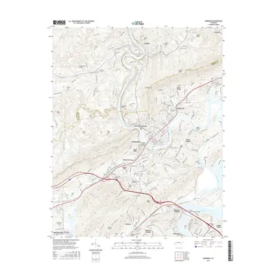
2016 Map of Harriman
USGS Topo · Published 2016About this map
Harriman sits at a strategic topographical crossroads where the Emory River cuts through the ridges of the Cumberland Plateau and Walden Ridge. This survey documents the complex intersection of river transport, rail lines like the Norfolk Southern, and several named gaps that have historically facilitated movement through the Tennessee valley. The map is particularly rich in family and local history data, pinpointing numerous small burial sites such as Snow Cem, Hannah Cem, and Fry Cem, alongside established neighborhoods like Walnut Hill and Emory Heights.
Find a feature on this map
207 named features on this map. Tap any name to fly to it.
Don’t see what you’re looking for? This feature index may not catch every label — zoom into the map to look around manually.
Map Details
Editions of this 2016 Harriman Map
This is the sole edition of this map. No revisions or reprints were ever made.
Other maps of this area

1887 · Kingston
USGS Topo · 1:125,000

1891 · Kingston
USGS Topo · 1:125,000

1893 · Briceville
USGS Topo · 1:125,000

1893 · Kingston
USGS Topo · 1:125,000

1895 · Wartburg
USGS Topo · 1:125,000

1895 · Loudon
USGS Topo · 1:125,000

1895 · Briceville
USGS Topo · 1:125,000

1896 · Wartburg
USGS Topo · 1:125,000

1896 · Briceville
USGS Topo · 1:125,000

1935 · Rockwood
USGS Topo · 1:24,000