2022 Map of Harriman
USGS Topo · Published 2022About this map
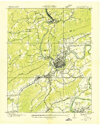
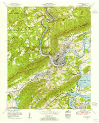
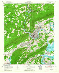
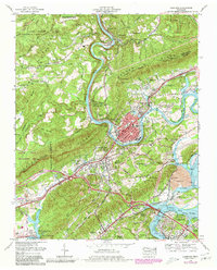
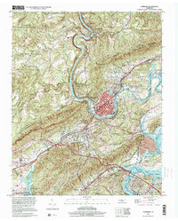
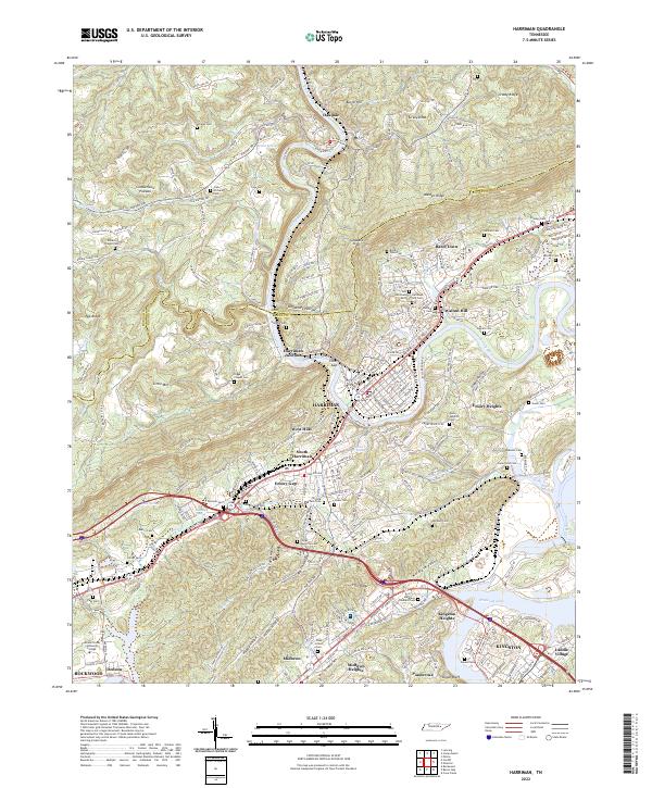
The Emory River serves as the central artery for this portion of the Tennessee Valley, winding through the complex terrain between the Cumberland Plateau and Walden Ridge. The city of Harriman occupies a strategic bend in the river, supported by a dense network of transport lines including CSX Transportation and Norfolk Southern rail routes. The map records a landscape heavily shaped by local history and family legacy, evident in the numerous small burial grounds like Hannah Cem, Bazel Town Cem, and Adkisson Cem that dot the valleys.
Find a feature on this map
227 named features on this map. Tap any name to fly to it.
Don’t see what you’re looking for? This feature index may not catch every label — zoom into the map to look around manually.
Map Details
Editions of this 2022 Harriman Map
This is the sole edition of this map. No revisions or reprints were ever made.
Historical Maps of Oakdale Through Time
7 maps found