2023 Map of Harrington
USGS Topo · Published 2023About this map
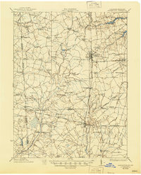
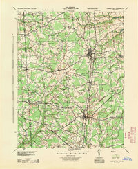
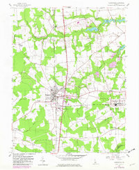
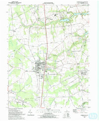
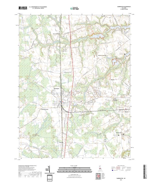
Harrington serves as a central hub on the Delmarva Peninsula, where the landscape transitions from established town grids to the agricultural and wetland reaches of the Murderkill River basin. This modern 2023 survey illustrates the dense network of rural roads and crossroads that define central Delaware, connecting smaller communities like Houston, Williamsville, and Powelton. The map documents a high density of family and community landmarks, including Thistlewood Cem and Griffiths Chapel Cem, providing essential data for local historians and genealogists.
Find a feature on this map
132 named features on this map. Tap any name to fly to it.
Don’t see what you’re looking for? This feature index may not catch every label — zoom into the map to look around manually.
Map Details
Editions of this 2023 Harrington Map
This is the sole edition of this map. No revisions or reprints were ever made.
Historical Maps of I and I Mobile Home Park Through Time
5 maps found