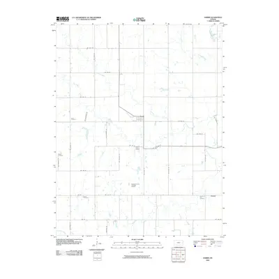
2009 Map of Harris
USGS Topo · Published 2009About this map
Harris serves as the central hub for this corner of Anderson County, situated at the intersection of a sprawling rural road network and the East Fork of Kenoma Creek. The town’s layout, concentrated along 4th St, reflects a settlement pattern built around agricultural transit and local commerce in the eastern Kansas plains. Beyond the town center, the landscape is defined by the winding paths of Kenoma Creek and Elm Creek, which carve gentle drainages through the surrounding farmlands. The map reveals an area where modern infrastructure like Graham Farms Airport and Graham Farms Auxiliary Airport coexist with traditional land divisions, preserving the character of a community deeply rooted in its pastoral environment.
Find a feature on this map
1 named feature on this map. Tap any name to fly to it.
Don’t see what you’re looking for? This feature index may not catch every label — zoom into the map to look around manually.
Map Details
Editions of this 2009 Harris Map
This is the sole edition of this map. No revisions or reprints were ever made.
Other maps of this area

1885 · Burlington
USGS Topo · 1:125,000

1885 · Garnett
USGS Topo · 1:125,000

1894 · Garnett
USGS Topo · 1:125,000

1894 · Burlington
USGS Topo · 1:125,000

1947 · Lawrence
USGS Topo · 1:250,000

1950 · Lawrence
USGS Topo · 1:250,000

1956 · Williamsburg
USGS Topo · 1:24,000

1956 · Lawrence
USGS Topo · 1:250,000

1957 · Waverly
USGS Topo · 1:24,000

1961 · Lawrence
USGS Topo · 1:250,000