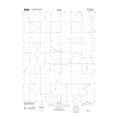
2012 Map of Harris
USGS Topo · Published 2012About this map
Harris serves as the primary settlement hub in this section of Anderson County, characterized by a grid-like network of rural roads and the winding path of Kenoma Cr. The landscape is a study in Kansas prairie agricultural patterns, where the land is strictly divided by routes like NW 2000th Rd and NW Finney Rd. Private aviation is notably present through the Graham Farms Airport and Miller Airport, suggesting the importance of aerial access in these broad agricultural spaces.
Find a feature on this map
39 named features on this map. Tap any name to fly to it.
Don’t see what you’re looking for? This feature index may not catch every label — zoom into the map to look around manually.
Map Details
Editions of this 2012 Harris Map
This is the sole edition of this map. No revisions or reprints were ever made.
Other maps of this area
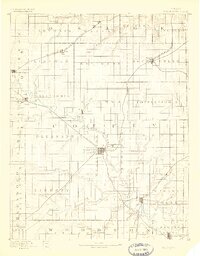
1885 · Burlington
USGS Topo · 1:125,000
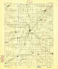
1885 · Garnett
USGS Topo · 1:125,000
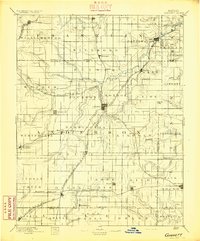
1894 · Garnett
USGS Topo · 1:125,000
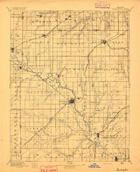
1894 · Burlington
USGS Topo · 1:125,000
1947 · Lawrence
USGS Topo · 1:250,000
1950 · Lawrence
USGS Topo · 1:250,000
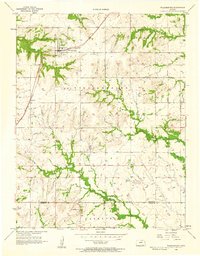
1956 · Williamsburg
USGS Topo · 1:24,000
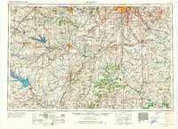
1956 · Lawrence
USGS Topo · 1:250,000
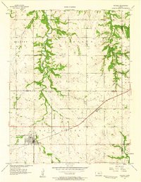
1957 · Waverly
USGS Topo · 1:24,000
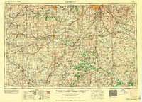
1961 · Lawrence
USGS Topo · 1:250,000