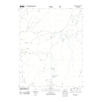
2011 Map of Harris Lake
USGS Topo · Published 2011About this map
Rio Blanco and its complex network of tributaries define this high-altitude landscape in Archuleta County. The area is characterized by significant water management infrastructure, most notably the Harris Lake Dam and the curiously named Harris Brothers and Boone Number 1 Dam near Buckles Lake. These reservoirs, along with Slesinger Reservoir, indicate a history of local water storage and diversion, supported by the Blanco Tunnel located south of the main basin.
Find a feature on this map
31 named features on this map. Tap any name to fly to it.
Don’t see what you’re looking for? This feature index may not catch every label — zoom into the map to look around manually.
Map Details
Editions of this 2011 Harris Lake Map
This is the sole edition of this map. No revisions or reprints were ever made.
Other maps of this area

1913 · Summitville
USGS Topo · 1:125,000

1915 · Summitville
USGS Topo · 1:125,000

1945 · Durango
USGS Topo · 1:250,000

1953 · Durango
USGS Topo · 1:250,000

1954 · Durango
USGS Topo · 1:250,000

1957 · Chromo
USGS Topo · 1:62,500

1957 · Wolf Creek Pass
USGS Topo · 1:62,500

1957 · Chama Peak
USGS Topo · 1:62,500

1961 · Durango
USGS Topo · 1:250,000

1963 · Durango
USGS Topo · 1:250,000