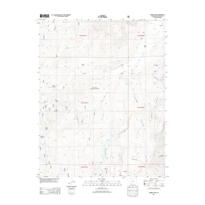
2013 Map of Harris Lake
USGS Topo · Published 2013About this map
The San Juan National Forest defines the character of this mountainous section of Archuleta County, where the high-elevation terrain is marked by the Blanco Tunnel and the drainage of the Rio Blanco. Water management and recreational access are central themes, evidenced by Slesinger Reservoir and several alpine lakes including Harris Lake, Buckles Lake, and Opal Lake. The landscape transitions from the deep Blanco Basin to the sharp heights of the Chalk Mountains and Bear Mountain. Extensive trail networks like the Leche Creek Trail and Fish Creek Trail provide access to the interior wilderness, while the V Rock Trailhead serves as a point of entry for those exploring the southern reaches near V Mountain. The presence of the Blue Creek ATV Trail suggests a mix of motorized and non-motorized backcountry use typical of modern forest management.
Find a feature on this map
41 named features on this map. Tap any name to fly to it.
Don’t see what you’re looking for? This feature index may not catch every label — zoom into the map to look around manually.
Map Details
Editions of this 2013 Harris Lake Map
This is the sole edition of this map. No revisions or reprints were ever made.
Other maps of this area

1913 · Summitville
USGS Topo · 1:125,000

1915 · Summitville
USGS Topo · 1:125,000

1945 · Durango
USGS Topo · 1:250,000

1953 · Durango
USGS Topo · 1:250,000

1954 · Durango
USGS Topo · 1:250,000

1957 · Chromo
USGS Topo · 1:62,500

1957 · Wolf Creek Pass
USGS Topo · 1:62,500

1957 · Chama Peak
USGS Topo · 1:62,500

1961 · Durango
USGS Topo · 1:250,000

1963 · Durango
USGS Topo · 1:250,000