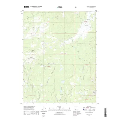
2019 Map of Harris Lake
USGS Topo · Published 2019About this map
The high-elevation terrain of San Juan National Forest defines this part of Archuleta County, where the hydrological network of the Blanco River and Little Navajo River shapes the landscape. Water management and resource access are central to this area, evidenced by the presence of Blanco Tunnel connecting Buckles Lake and Harris Lake. This system reflects the region's complex water engineering required to move resources through the steep drainages of the Chalk Mountains and Bear Mtn.
Find a feature on this map
43 named features on this map. Tap any name to fly to it.
Don’t see what you’re looking for? This feature index may not catch every label — zoom into the map to look around manually.
Map Details
Editions of this 2019 Harris Lake Map
This is the sole edition of this map. No revisions or reprints were ever made.
Other maps of this area

1913 · Summitville
USGS Topo · 1:125,000

1915 · Summitville
USGS Topo · 1:125,000

1945 · Durango
USGS Topo · 1:250,000

1953 · Durango
USGS Topo · 1:250,000

1954 · Durango
USGS Topo · 1:250,000

1957 · Chromo
USGS Topo · 1:62,500

1957 · Wolf Creek Pass
USGS Topo · 1:62,500

1957 · Chama Peak
USGS Topo · 1:62,500

1961 · Durango
USGS Topo · 1:250,000

1963 · Durango
USGS Topo · 1:250,000