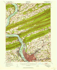
1943 Map of Harrisburg
USGS Topo · Published 1954About this map
The Susquehanna River dominates this mid-century landscape, carving through a series of dramatic ridges including Peters Mountain, Third Mountain, and Blue Mountain. In 1942, when these aerial photographs were taken, the river was a primary corridor for the Pennsylvania Railroad and Reading lines, which served the industrial hubs of Harrisburg, Enola, and Marysville. The map captures the dense network of small communities and crossroads schools that defined Dauphin County, such as Singersville and Piketown.
Find a feature on this map
114 named features on this map. Tap any name to fly to it.
Don’t see what you’re looking for? This feature index may not catch every label — zoom into the map to look around manually.
Map Details
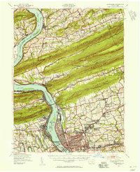
Editions of this 1943 Harrisburg Map
3 editions found

Other maps of this area

1892 · Lykens
USGS Topo · 1:62,500

1892 · Hummelstown
USGS Topo · 1:62,500

1892 · Harrisburg
USGS Topo · 1:62,500

1893 · Lykens
USGS Topo · 1:62,500

1893 · Millersburg
USGS Topo · 1:62,500

1899 · Harrisburg
USGS Topo · 1:62,500

1904 · Carlisle
USGS Topo · 1:62,500

1906 · New Cumberland
USGS Topo · 1:62,500

1907 · New Bloomfield
USGS Topo · 1:62,500

1907 · Millerstown
USGS Topo · 1:62,500
Featured Places
- Harrisburg, PA
- Colonial Park, Lower Paxton Township
- Progress, Susquehanna Township
- Linglestown, Lower Paxton Township
- Enola, East Pennsboro Township