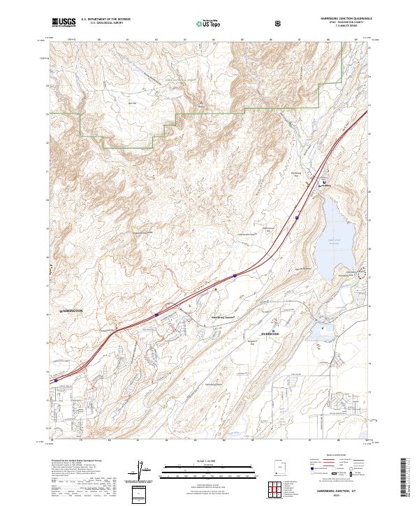
2023 Map of Harrisburg Junction
USGS Topo · Published 2023About this map
The Virgin River flows along the southern reach of this landscape, carving through a complex geological area defined by the Harrisburg Dome and the red rock formations of Leeds Reef and White Reef. In the early 21st century, this region shows the distinct meeting point of southwestern Utah's wilderness and expanding residential developments. The area around Harrisburg Junction serves as a modern crossroads, situated near the historical site of Harrisburg and its namesake Harrisburg Cem. Significant portions of the land are preserved within the Dixie National Forest and the Cottonwood Forest Wilderness, protecting features like Yant Flat and Dicks Canyon. To the east, the Quail Creek Reservoir provides a major water feature in an otherwise arid terrain of washes and benches, including Grapevine Pass Wash and the Harrisburg Bench.
Find a feature on this map
95 named features on this map. Tap any name to fly to it.
Don’t see what you’re looking for? This feature index may not catch every label — zoom into the map to look around manually.
Map Details
Editions of this 2023 Harrisburg Junction Map
This is the sole edition of this map. No revisions or reprints were ever made.
Other maps of this area

1885 · St. George
USGS Topo · 1:250,000

1891 · St. George
USGS Topo · 1:250,000

1953 · Cedar City
USGS Topo · 1:250,000

1954 · La Verkin 3 NW
USGS Topo · 1:24,000

1954 · La Verkin 3 NE
USGS Topo · 1:24,000

1954 · La Verkin 3 SE
USGS Topo · 1:24,000

1954 · La Verkin 3 SW
USGS Topo · 1:24,000

1954 · La Verkin 2 SE
USGS Topo · 1:24,000

1954 · St. George
USGS Topo · 1:62,500

1954 · Hurricane
USGS Topo · 1:62,500