Loading...
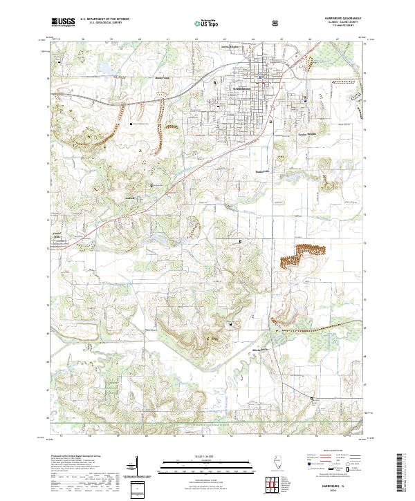
Loading map...2024 Map of Harrisburg
USGS Topo · Published 2024About this map
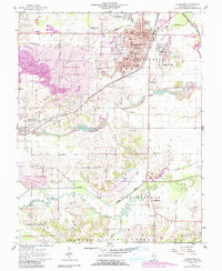
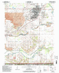
The Saline County Courthouse anchors the city of Harrisburg, surrounded by neighborhoods like Dorris Heights and Garden Heights. The landscape transitions from urban street grids to the wooded bottomlands of the Shawnee National Forest in the south. This region is defined by the winding paths of the Middle Fork Saline River and South Fork Saline River, where remnants of an Old Channel indicate a history of hydrological changes and floodplain management.
Find a feature on this map
151 named features on this map. Tap any name to fly to it.
Don’t see what you’re looking for? This feature index may not catch every label — zoom into the map to look around manually.
Map Details
Date Portrayed2024
Date Published2024
PublisherU.S. Geological Survey
Map TypeTopographic
Scale1:24000
Physical Dimensions24 x 29 inches
Editions of this 2024 Harrisburg Map
This is the sole edition of this map. No revisions or reprints were ever made.
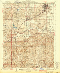
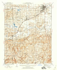
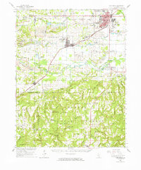
Historical Maps of Pankeyville Through Time
6 maps found
Featured Locations
Source Details
SourceU.S. Geological Survey
CopyrightPublic Domain