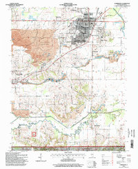
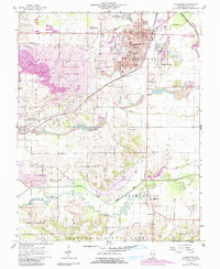
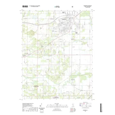
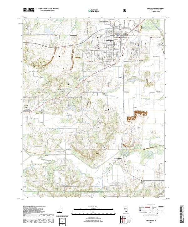
1996 Map of Harrisburg
USGS Topo · Published 1996About this map
Harrisburg serves as the focal point of this Saline County study, showing the city's internal layout from Lincoln Sch down to the Dorrisville Sch. The landscape is defined by the heavy footprint of the local mining industry, specifically the extensive Reclaimed Strip Mine areas that surround settlements like Ledford and Pankeyville. These industrial transformations contrast with the traditional rural network of family and community landmarks, such as Walnut Grove Ch and the Moore Vinson Cem.
Find a feature on this map
62 named features on this map. Tap any name to fly to it.
Don’t see what you’re looking for? This feature index may not catch every label — zoom into the map to look around manually.
Map Details
Editions of this 1996 Harrisburg Map
This is the sole edition of this map. No revisions or reprints were ever made.
Historical Maps of Harrisburg Through Time
10 maps found
1925 Harrisburg
Saline County, IL
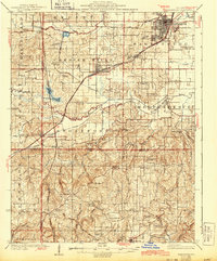
1939 Harrisburg
Saline County, IL
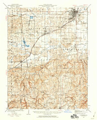
1961 Harrisburg
Saline County, IL
1961 Harrisburg
Saline County, IL
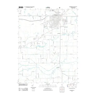
1996 Harrisburg
Saline County, IL
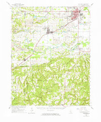
2012 Harrisburg
Saline County, IL
2015 Harrisburg
Saline County, IL
2018 Harrisburg
Saline County, IL
2021 Harrisburg
Saline County, IL
2024 Harrisburg
Saline County, IL