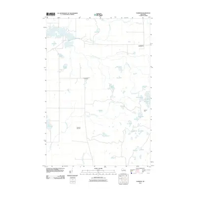
2010 Map of Harrison
USGS Topo · Published 2010About this map
The settlement of Harrison anchors this northern Wisconsin landscape, characterized by a dense concentration of glacial kettle lakes and varying elevations. The topographic relief is most pronounced in the Harrison Hills and near Porcupine Mountain, creating a complex network of internal drainages and high points. Water is the defining element of the region, with the North Branch Prairie River flowing south and Big Pine Creek meandering through the northern reaches.
Find a feature on this map
31 named features on this map. Tap any name to fly to it.
Don’t see what you’re looking for? This feature index may not catch every label — zoom into the map to look around manually.
Map Details
Editions of this 2010 Harrison Map
This is the sole edition of this map. No revisions or reprints were ever made.
Other maps of this area

1939 · Cassian
USGS Topo · 1:48,000

1940 · Parrish
USGS Topo · 1:48,000

1940 · Rhinelander
USGS Topo · 1:48,000

1942 · Cassian
USGS Topo · 1:48,000

1949 · Rhinelander
USGS Topo · 1:48,000

1950 · Parrish
USGS Topo · 1:48,000

1950 · Tomahawk
USGS Topo · 1:48,000

1952 · Parrish
USGS Topo · 1:48,000

1952 · Tomahawk
USGS Topo · 1:48,000

1954 · Iron Mountain
USGS Topo · 1:250,000