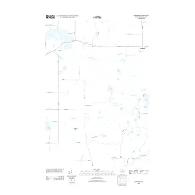
2013 Map of Harrison
USGS Topo · Published 2013About this map
The settlement of Harrison occupies the northeastern corner of this Lincoln County landscape, serving as a gateway to a dense network of kettle lakes and timbered ridges. The area is defined by its glacial legacy, most notably the Harrison Hills and the prominent Porcupine Mtn which rise above a labyrinth of water bodies including Sump Lake, Silver Lake, and Crane Foot Lake. In the south, the Ice Age Natl Scenic Trl winds past Ebert Lake and Bear Lake, following the moraine topography that characterizes this part of Wisconsin. The hydrology is complex, with Big Pine Cr and Little Pine Cr draining through numerous smaller basins like Bughouse Lake and Kordick Lake. A sparse grid of local routes such as Grundy Rd and Co Hwy-H connects these isolated water features, reflecting a region primarily shaped by recreation and conservation.
Find a feature on this map
62 named features on this map. Tap any name to fly to it.
Don’t see what you’re looking for? This feature index may not catch every label — zoom into the map to look around manually.
Map Details
Editions of this 2013 Harrison Map
This is the sole edition of this map. No revisions or reprints were ever made.
Other maps of this area

1939 · Cassian
USGS Topo · 1:48,000

1940 · Parrish
USGS Topo · 1:48,000

1940 · Rhinelander
USGS Topo · 1:48,000

1942 · Cassian
USGS Topo · 1:48,000

1949 · Rhinelander
USGS Topo · 1:48,000

1950 · Parrish
USGS Topo · 1:48,000

1950 · Tomahawk
USGS Topo · 1:48,000

1952 · Parrish
USGS Topo · 1:48,000

1952 · Tomahawk
USGS Topo · 1:48,000

1954 · Iron Mountain
USGS Topo · 1:250,000