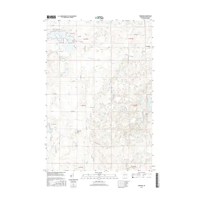
2015 Map of Harrison
USGS Topo · Published 2015About this map
Glacial topography and numerous kettle lakes dominate this 2015 survey of north-central Wisconsin, where the settlement of Harrison serves as a local hub. The landscape is defined by the Harrison Hills and the prominent rise of Porcupine Mtn, surrounded by a dense network of water bodies including the irregular shoreline of Lake Alice and smaller basins like Pickerel Lake and Crane Foot Lake.
Find a feature on this map
75 named features on this map. Tap any name to fly to it.
Don’t see what you’re looking for? This feature index may not catch every label — zoom into the map to look around manually.
Map Details
Editions of this 2015 Harrison Map
This is the sole edition of this map. No revisions or reprints were ever made.
Other maps of this area

1939 · Cassian
USGS Topo · 1:48,000

1940 · Parrish
USGS Topo · 1:48,000

1940 · Rhinelander
USGS Topo · 1:48,000

1942 · Cassian
USGS Topo · 1:48,000

1949 · Rhinelander
USGS Topo · 1:48,000

1950 · Parrish
USGS Topo · 1:48,000

1950 · Tomahawk
USGS Topo · 1:48,000

1952 · Parrish
USGS Topo · 1:48,000

1952 · Tomahawk
USGS Topo · 1:48,000

1954 · Iron Mountain
USGS Topo · 1:250,000