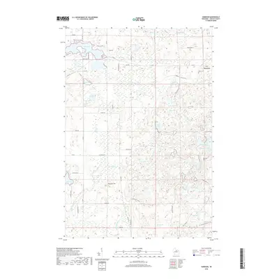
2018 Map of Harrison
USGS Topo · Published 2018About this map
Harrison stands as a primary settlement node in this Lincoln County landscape, situated where the glacial topography of the Harrison Hills meets a dense network of kettle lakes and stream systems. The terrain is defined by its water, from the broad expanse of Lake Alice in the northwest to the secluded pockets of Jackknife Lake, Ghost Lake, and Bughouse Lake. The Ice Age National Scenic Trail traverses the southern portion of the quadrangle, tracing the high ground near Camp Lake and Ament Lake, providing a contemporary reference for the region's ancient geological formations.
Find a feature on this map
60 named features on this map. Tap any name to fly to it.
Don’t see what you’re looking for? This feature index may not catch every label — zoom into the map to look around manually.
Map Details
Editions of this 2018 Harrison Map
This is the sole edition of this map. No revisions or reprints were ever made.
Other maps of this area

1939 · Cassian
USGS Topo · 1:48,000

1940 · Parrish
USGS Topo · 1:48,000

1940 · Rhinelander
USGS Topo · 1:48,000

1942 · Cassian
USGS Topo · 1:48,000

1949 · Rhinelander
USGS Topo · 1:48,000

1950 · Parrish
USGS Topo · 1:48,000

1950 · Tomahawk
USGS Topo · 1:48,000

1952 · Parrish
USGS Topo · 1:48,000

1952 · Tomahawk
USGS Topo · 1:48,000

1954 · Iron Mountain
USGS Topo · 1:250,000