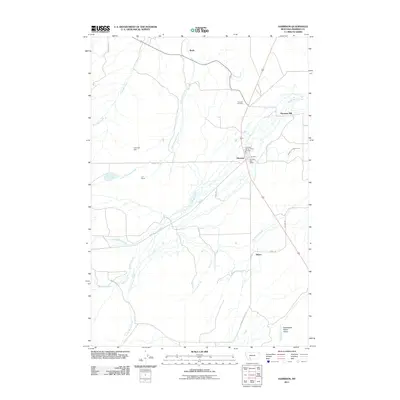
2011 Map of Harrison
USGS Topo · Published 2011About this map
Harrison serves as the focal point of this Madison County landscape, where the town's essential civic and industrial infrastructure is clearly documented. The map details the Harrison Post Office and the Harrison-Norris-Pony Fire Dist, alongside the Harrison Mill which underscores the area's agricultural ties. Surrounding the town, a network of family-named settlements and ranches such as Beals, Shaws, and the U-H Ranch point to a dispersed rural community organized around water rights and grazing.
Find a feature on this map
26 named features on this map. Tap any name to fly to it.
Don’t see what you’re looking for? This feature index may not catch every label — zoom into the map to look around manually.
Map Details
Editions of this 2011 Harrison Map
This is the sole edition of this map. No revisions or reprints were ever made.
Other maps of this area

1888 · Three Forks
USGS Topo · 1:250,000

1894 · Three Forks
USGS Topo · 1:250,000

1895 · Three Forks
USGS Topo · 1:250,000

1947 · Bozeman
USGS Topo · 1:250,000

1948 · Bozeman
USGS Topo · 1:250,000

1949 · Norris
USGS Topo · 1:62,500

1950 · Three Forks
USGS Topo · 1:62,500

1950 · Jefferson Island
USGS Topo · 1:62,500

1950 · Harrison
USGS Topo · 1:62,500

1951 · Norris
USGS Topo · 1:62,500