
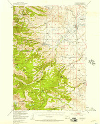
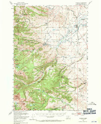
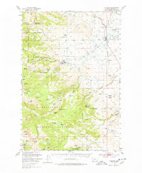
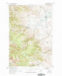
1950 Map of Harrison
USGS Topo · Published 1954About this map
The Tobacco Root Mountains dominate this 1950 survey, revealing a landscape defined by its mining heritage and high-elevation hydrology. In the northeastern flats, the Northern Pacific railroad services Harrison, passing the Harrison Mill and Harrison Cem. To the west and south, the terrain rises sharply toward Potosi Peak and Branham Peaks, where a network of gulches and ridges is dotted with hard-rock and placer claims.
Find a feature on this map
98 named features on this map. Tap any name to fly to it.
Don’t see what you’re looking for? This feature index may not catch every label — zoom into the map to look around manually.
Map Details
Editions of this 1950 Harrison Map
5 editions found
Other maps of this area

1888 · Three Forks
USGS Topo · 1:250,000

1893 · Dillon
USGS Topo · 1:250,000

1894 · Three Forks
USGS Topo · 1:250,000

1895 · Three Forks
USGS Topo · 1:250,000

1947 · Bozeman
USGS Topo · 1:250,000

1948 · Bozeman
USGS Topo · 1:250,000

1949 · Ennis
USGS Topo · 1:62,500

1949 · Norris
USGS Topo · 1:62,500

1950 · Three Forks
USGS Topo · 1:62,500

1950 · Jefferson Island
USGS Topo · 1:62,500