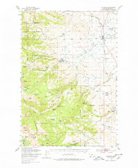
1950 Map of Harrison
USGS Topo · Published 1978About this map
Harrison stands as a rail-centered hub in the lower valleys of the Tobacco Root Mountains, where the Northern Pacific RR follows the drainage of Willow Creek. This mid-century landscape reveals a transition from the agricultural operations at U-H Ranch and Springside Ranch to the intensive hard-rock and placer mining found in the higher elevations. The town of Pony serves as a gateway to numerous workings such as the Boss Tweed Mine, Strawberry Mine, and the Mt Cliff Mine along Strawberry Ridge. Farther south, the presence of the Indiana University Geology Field Sta near the South Fork Boulder River highlights the region's significance for geologic study. Historic mining activity is pervasive, from the Garnet Gold Mine to the abandoned site of Sterling, while recreation and conservation are noted at the Bungalow Group and the Potoai Ranger Station within the Beaverhead National Forest.
Find a feature on this map
95 named features on this map. Tap any name to fly to it.
Don’t see what you’re looking for? This feature index may not catch every label — zoom into the map to look around manually.
Map Details
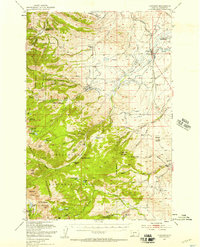
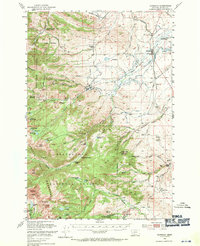
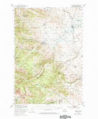
Editions of this 1950 Harrison Map
5 editions found

Other maps of this area

1888 · Three Forks
USGS Topo · 1:250,000

1893 · Dillon
USGS Topo · 1:250,000

1894 · Three Forks
USGS Topo · 1:250,000

1895 · Three Forks
USGS Topo · 1:250,000

1947 · Bozeman
USGS Topo · 1:250,000

1948 · Bozeman
USGS Topo · 1:250,000

1949 · Ennis
USGS Topo · 1:62,500

1949 · Norris
USGS Topo · 1:62,500

1950 · Three Forks
USGS Topo · 1:62,500

1950 · Jefferson Island
USGS Topo · 1:62,500