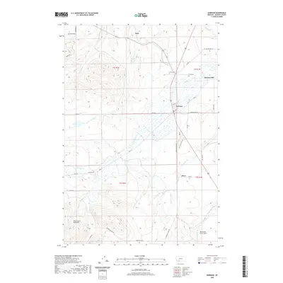
2020 Map of Harrison
USGS Topo · Published 2020About this map
Harrison serves as the central hub of this Madison County landscape, where the agricultural flats of the valley floor meet the rising slopes of the Tobacco Root Mountains. The settlement pattern follows the intricate drainage network of N Willow Cr and S Willow Cr, with smaller outposts like Beals, Shaws, and Summit Valley scattered across the township lines. Evidence of early industry and commerce is preserved in labels for the Harrison Mill and the Harrison Cem, while the historic route of the Old Yellowstone Trl cuts across the northern reaches near Sand Cr. In the southeast, Norwegian Placer Gulch and Norwegian Cr hint at the area's mineral history, while a dense grid of local roads like Pony Rd and Adkins Ln connects the rural homesteads and ranching tracts that define the region's modern layout.
Find a feature on this map
40 named features on this map. Tap any name to fly to it.
Don’t see what you’re looking for? This feature index may not catch every label — zoom into the map to look around manually.
Map Details
Editions of this 2020 Harrison Map
This is the sole edition of this map. No revisions or reprints were ever made.
Other maps of this area

1888 · Three Forks
USGS Topo · 1:250,000

1894 · Three Forks
USGS Topo · 1:250,000

1895 · Three Forks
USGS Topo · 1:250,000

1947 · Bozeman
USGS Topo · 1:250,000

1948 · Bozeman
USGS Topo · 1:250,000

1949 · Norris
USGS Topo · 1:62,500

1950 · Three Forks
USGS Topo · 1:62,500

1950 · Jefferson Island
USGS Topo · 1:62,500

1950 · Harrison
USGS Topo · 1:62,500

1951 · Norris
USGS Topo · 1:62,500