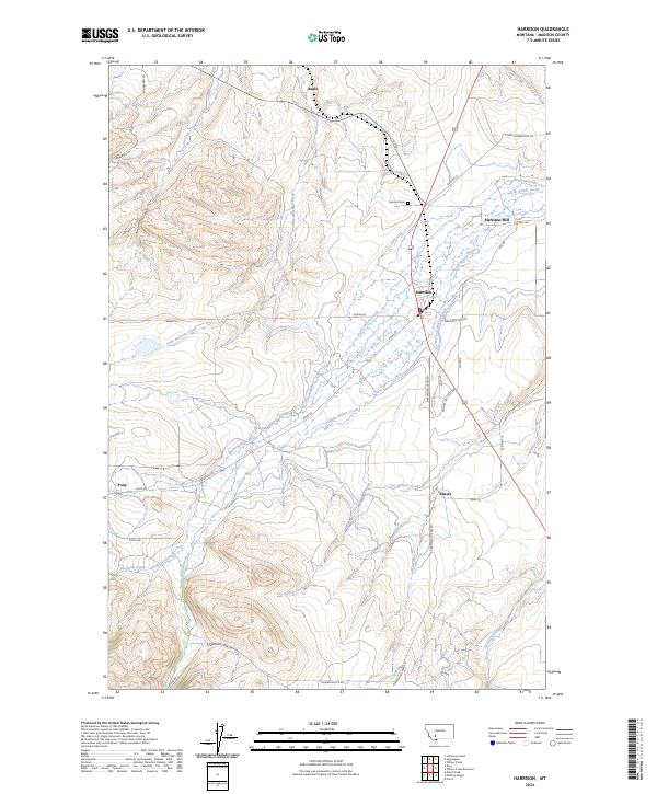
2024 Map of Harrison
USGS Topo · Published 2024About this map
Harrison and Pony anchor this section of Madison County, where the agricultural and industrial history of the Montana landscape is etched into the drainage patterns of the Tobacco Root Mountains. The map reveals a complex network of water management, most notably the Roebert and Warren Ditch and several named creeks such as North Willow Creek and South Willow Creek that sustain the local valley. Small rural nodes like Beals and Shaws are documented alongside family-named landmarks and local infrastructure like the Harrison Mill.
Find a feature on this map
36 named features on this map. Tap any name to fly to it.
Don’t see what you’re looking for? This feature index may not catch every label — zoom into the map to look around manually.
Map Details
Editions of this 2024 Harrison Map
This is the sole edition of this map. No revisions or reprints were ever made.
Other maps of this area

1888 · Three Forks
USGS Topo · 1:250,000

1894 · Three Forks
USGS Topo · 1:250,000

1895 · Three Forks
USGS Topo · 1:250,000

1947 · Bozeman
USGS Topo · 1:250,000

1948 · Bozeman
USGS Topo · 1:250,000

1949 · Norris
USGS Topo · 1:62,500

1950 · Three Forks
USGS Topo · 1:62,500

1950 · Jefferson Island
USGS Topo · 1:62,500

1950 · Harrison
USGS Topo · 1:62,500

1951 · Norris
USGS Topo · 1:62,500