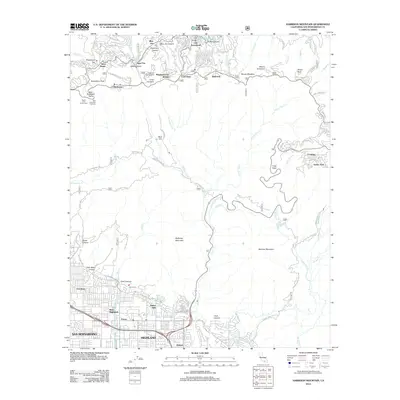
2012 Map of Harrison Mountain
USGS Topo · Published 2012About this map
Lake Arrowhead and the surrounding resort communities sit at the northern crest of this San Bernardino County landscape. This 2012 survey illustrates the dense development in the mountain peaks compared to the organized grid of Highland and Patton in the valley below. The transition from the high-altitude settlements of Skyforest, Twin Peaks, and Rimforest down to the suburban expansion at Amber Hills is marked by steep canyons and complex fire-access routes like the Sand Canyon Truck Trl. Unique cultural markers are present throughout, including the site of Santas Village near Hencks Meadow and the Indian Cem located near the mouth of Sand Canyon. The presence of the Highland Canal at the base of McKinley Mountain shows the critical water infrastructure supporting the valley's development.
Find a feature on this map
97 named features on this map. Tap any name to fly to it.
Don’t see what you’re looking for? This feature index may not catch every label — zoom into the map to look around manually.
Map Details
Editions of this 2012 Harrison Mountain Map
This is the sole edition of this map. No revisions or reprints were ever made.
Other maps of this area

1896 · San Bernardino
USGS Topo · 1:62,500

1898 · San Bernardino
USGS Topo · 1:62,500

1899 · Redlands
USGS Topo · 1:62,500

1901 · Southern California Sheet No. 1
USGS Topo · 1:250,000

1901 · San Bernardino
USGS Topo · 1:62,500

1901 · Redlands
USGS Topo · 1:62,500

1902 · Deep Creek
USGS Topo · 1:62,500

1902 · Hesperia
USGS Topo · 1:62,500

1904 · Southern California Sheet No. 1
USGS Topo · 1:250,000

1936 · Arrowhead
USGS Topo · 1:31,680