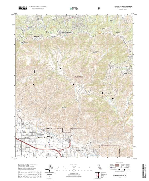
2021 Map of Harrison Mountain
USGS Topo · Published 2021About this map
The San Bernardino Mountains dominate this landscape, rising sharply from the urbanized valley floor to the forested crest. In the southern lowlands, the communities of Patton and Highland are clearly defined, featuring the Patton State Hospital Cem and the San Manuel Tribal Cem. These settlements give way to the steep canyons of the San Bernardino National Forest, where water features like City Cr and Plunge Cr drain south toward the East Highland Reservoir.
Find a feature on this map
145 named features on this map. Tap any name to fly to it.
Don’t see what you’re looking for? This feature index may not catch every label — zoom into the map to look around manually.
Map Details
Editions of this 2021 Harrison Mountain Map
This is the sole edition of this map. No revisions or reprints were ever made.
Other maps of this area

1896 · San Bernardino
USGS Topo · 1:62,500

1898 · San Bernardino
USGS Topo · 1:62,500

1899 · Redlands
USGS Topo · 1:62,500

1901 · Southern California Sheet No. 1
USGS Topo · 1:250,000

1901 · San Bernardino
USGS Topo · 1:62,500

1901 · Redlands
USGS Topo · 1:62,500

1902 · Deep Creek
USGS Topo · 1:62,500

1902 · Hesperia
USGS Topo · 1:62,500

1904 · Southern California Sheet No. 1
USGS Topo · 1:250,000

1936 · Arrowhead
USGS Topo · 1:31,680